Area: 6,383.9 sq. km
Administration: Lao Cai City, Bao Thang District, Bao Yen District, Bat Xat District, Hac Ha District, Muong Khuong District, Sapa District, Si Ma Cai District, Van Ban District
Lao Cai is a mountainous province in Northwest geography zone. The province shares borders with Yunna Province (China) in the north, Yen Bai Province in the south, Ha Giang Province in the east, Son La and Lai Chau provinces in the west.

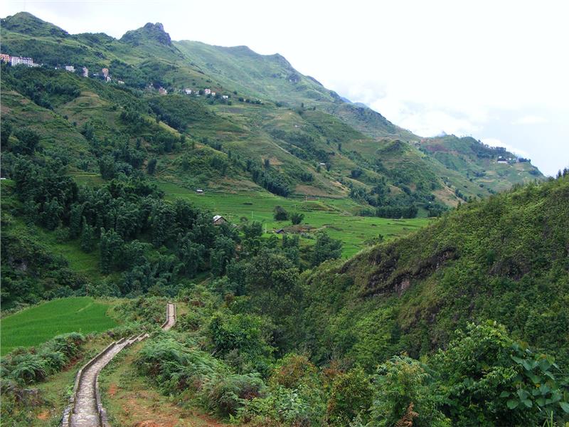
Lao Cai terrain is complex and strongly dissected. The topography of Lao Cai is characterized by high mountains alternating with low hills and valleys along the Red River. The center of the province is surrounded by mountainous districts including many small isolated valleys and mountains. Two main mountains of the province are Hoang Lien Son mountain range and Con Voi Mountain running in the direction from the northwest to the southeast. Besides, there are a plenty of smaller mountains widely distributed creating different climate zones. Mountains having the slopes of over 25 degrees account for 80% the total area of the province. The natural terrain of province fluctuates from 80 to 3,143 meters above the sea level. The highest point is Fansipan Mountain on Hoang Lien Son mountain range having the altitude of 3,143m. The lowest point belongs to Bao Thang district. Mountainous terrain and microclimate effects have created a diverse natural environment for the province. The strip of land along the Red River and Chay River includes Lao Cai city, Cam Duong, Bao Thang, Bao Yen, and the east of Van Ban district. This region is less rugged and has favorable geographical advantages for agriculture, forestry, construction and infrastructure development.

Lao Cai has the tropical monsoon climate. However, due to having complex terrain, Lao Cai weather has made some changes over time. The mutation of temperature usually occurs in the province. In details, sometimes the temperature sharply increases or decreases. Especially, in Sapa, the temperature sometimes drops below 0°C. Lao Cai climate has two seasons including rainy seasons lasting from April to October and dry seasons lasting from October to March.
Temperature: The average temperature is 15°C - 20°C in high areas and 23°C ‑ 29°C in lowlands. Especially, the temperature in Sapa is 14 - 16°C and never exceeds 20°C.
Rainfall: The annual rainfall is from 1,800 to 2,000 meters.
Fog: Fog is a common phenomenon in the province. In some place, fog is very thick. During the freezing period, hoarfrost often appears lasting 2-3 days.
There are two rivers running through Lao Cai including Nam Thi River and Red River. Nam Thi River runs through the north territory of the province. The River is also a natural boundary with China. The water in the River is quite green and becomes the main source providing water for production and daily activities. Nam Thi River makes the confluence with Red River at the natural border between Lao Cai and China.
