Area: 3323.6 sq. km
Administration (districts): Hoan Kiem, Ba Dinh, Dong Da, Hai Ba Trung, Hoang Mai, Tay Ho, Thanh Xuan, Cau Giay, Long Bien, and Ha Dong

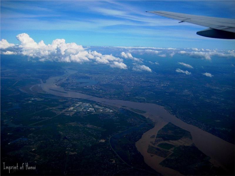
Hanoi belongs to Red River Delta geography zone. The city is located from 20°53' to 21°23' north latitude and from 105°44' to 106°02' east longitude. The capital shares borders with Thai Nguyen and Vinh Phuc in the north, Ha Nam and Hoa Binh in the south, Bac Giang, Hung Yen and Bac Ninh in the east, and Hoa Binh and Phu Tho in the west. After the administrative boundaries expansion on August 2008, the city has the total area of 3323.6 km2 (according to the statistics in 2012 of General Statistics Office of Vietnam). Hanoi is located in both sides of the Red River, but mainly focuses on the right bank.
The city has four extreme points, which are:
- The North Pole: Bac Son Commune, Soc Son District
- The West Pole: Thuan My Commune, Ba Vi District
- The South Pole: Huong Son Commune, My Duc District
- The East Pole: Le Chi Commune, Gia Lam District
Hanoi topography is gradually lower from the north to the south and from the west to the east with the average elevation of 5 – 20 meters above the sea level. Hanoi has two main terrains including plains and hills. Plain areas are mainly located in the old area of Hanoi and some eastern districts of old Ha Tay province. These areas are situated on the right bank of the Black River and two sides of the Red River. Plains account for three fourth of the natural area of Hanoi. Besides, the hilly terrain belongs to some provinces including Soc Son, Ba Vi, Quoc Oai, and My Duc. Some high hills of the city are Ba Vi (1281m), Gia De (707m), Chan Chim (462m), Thanh Lanh (427m), Thien Tru (378m), Ba Tuong (334m), Sc Son (308m), Nui Boc (245m), Duc Linh (294m) and so on.

Hanoi weather is fairly typical for the general climate in the north of Vietnam. Hanoi climate is characterized by the tropical monsoon climate with hot and rainy summers and cold and dry winters. Located in the Tropic, Hanoi receives the large amount of solar radiation all around year with the high temperature. The average amount of total radiation each year in Hanoi is 122.8 kcal/cm2. The average temperature of air is 23.6ºC per year. Due to the influence of sea, the land has the large humidity and rainfall. The average humidity is 79% while the average annual rainfall is 1800 mm. There are about 114 rainy days each year in the capital.
Weather in Hanoi has two distinct seasons. Dry and hot seasons last from May to September. The average temperature in this season is 29.2ºC. Winter seasons last from November to March. The average temperature of Hanoi winter is 15.2 ºC. Between these two seasons, there is a transition period (in April and October); therefore, Hanoi has 4 seasons in one year. The changes in weather of four seasons make Hanoi having its own beauty in each season. The most suitable time to travel in Hanoi is in spring. Besides, the topography of old Ha Tay has its own features which form the climatic sub-regions including mountains, hills and plains. However, in general, the differences in weather and temperature among regions in Hanoi are not very large.

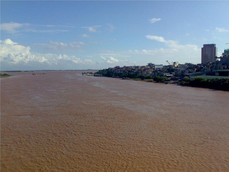
Hanoi is located next to two big rivers which are the Black River and the Red River. The Red River is the main river of the city. The length of Red River flowing through Hanoi is 163 km, which accounts for one third of the length of the river in Vietnam. The Black River is the boundary between Hanoi and Phu Tho. Apart from these two rives, Hanoi also has some smaller rivers flowing in the inner city such as Day River, Duong River, Cau River and Ca Lo River, etc. Some other rivers have an important role in the drainage of Hanoi such as To Lich River, Kim Nguu River …
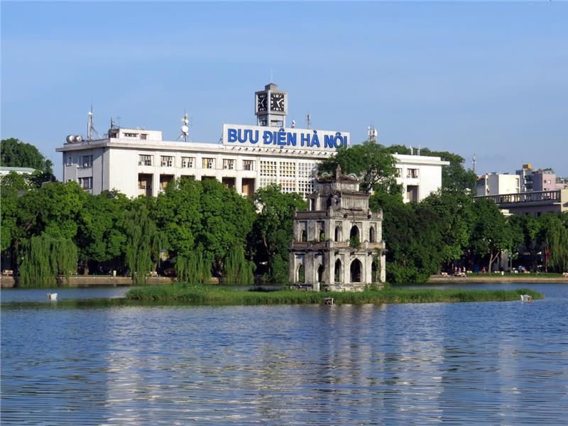
Hanoi also has a plenty of lakes, which are remnants of the ancient rivers. In the inner city, West Lake has the largest area, about 500 hectares. West Lake plays an important role in the urban landscape of the city. Besides, Hoan Kiem Lake or Guom Lake is also a large lake in Hanoi. Hoan Kiem Lake is situated in the historical and busiest center of the city. In addition, there are many other lakes including Truc Bach, Thien Quang, Thu Le, Kim Lien, Xuan Khanh, Tuy Lai, Quan Son and so forth.
