Ordering by geographical location from north to south, Central Highlands consists of 5 provinces, namely Kon Tum, Gia Lai, Dak Lak, Dak Nong and Lam Dong with the natural area of 54,474 km2, accounting for 16.8% of the whole national natural area.

Central Highlands is one of 3 sub-regions in the Central of Vietnam (the two other regions are North Central and South Central Coast). It is a large plateau region, which is adjacent Quang Nam to the north; with Quang Ngai, Binh Dinh, Phu Yen, Khanh Hoa, Ninh Thuan, Binh Thuan to the east; with Dong Nai, Binh Phuoc to the south; and with Attapeu (Laos), Ratanakiri and Mondulkiri (Cambodia) to the west. In term of Central Highlands geography, while Kon Tum shares a border with both Laos and Cambodia to the west, Gia Lai, Dak Lak, and Dak Nong only share borders with Cambodia. Lam Dong is landlocked, thus has no international border.
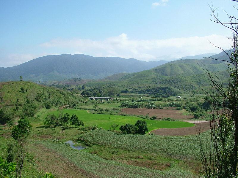
Actually, Central Highlands region is not situated in a unique plateau, instead it lies on series of contiguous plateaus, namely Kon Tum Plateau at the height of about 500m, Kon Plong Plateau, Kon Ha Nung Plateau, Pleiku Plateau with the height of around 800m, Mdrak Plateau of approximately 500m height, Buon Ma Thuot Plateau of around 500m, Mo Nong Plateau with the height of about 800–1000m, Lam Vien Plateau of approximately 1500m height, and Di Linh Plateau of about 900–1000m. All of these plateau are surrounded by high mountain ranges and massifs to the east (South Annamite Range).
According to the deviation in Central Highlands topography and climate, the region can be divided into 3 sub-regions, including North Central Highlands (inclusive of Kon Tum and Gia Lai), Middle Central Highlands (covering provinces of Đak Lak and Đak Nong), South Central Highlands (corresponding to Lam Dong). Among them, Middle Central Highlands has lower altitude; therefore, it has a higher temperature from other two sub-regions.

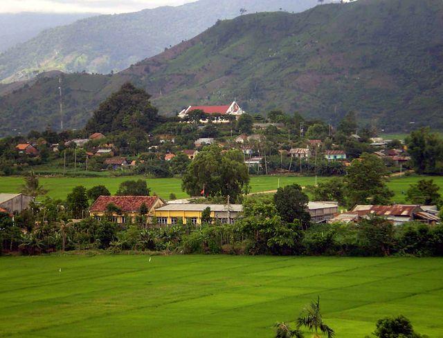
Surface of topography in Central Highlands gradually slopes from the east to the west, yet it stills prevents Southeast wind blowing to the region. In additions, complex terrain in Central Highlands is continuously dissected clear hierarchy, including: highland topography, mountainous terrain and valley terrain.
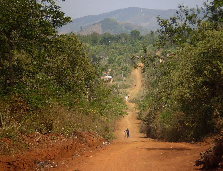
Land resources: Land is considered the basic resources in Central Highlands, facilitating the development of agriculture and forestry. Land in Central Highlands is mainly basalt with slightly wavy terrain making up red soil plateaus, namely Buon Ma Thuot Plateau, Playku Plateau, Dak Nong Plateau, Kon Tum Plateau. These plateaus occupying an area of about 1 million hectares are suitable for many crops, particularly rubber trees, coffee, tea, pepper, cashew...and develop forests. Besides, 1.8 million hectares of yellow-red soil area with its well porous characteristics facilitates many crops. Additionally, there is also the distribution of gray soil laid on southwest hillsides and in valleys, alluvial soils along the river, which are suitable for food crops.

Central Highlands region also retains many forest areas with diverse biological carpets and rich mineral reserves, which is virtually untapped in Vietnam. It can be also considered the roof of the Central, owning great protection function.
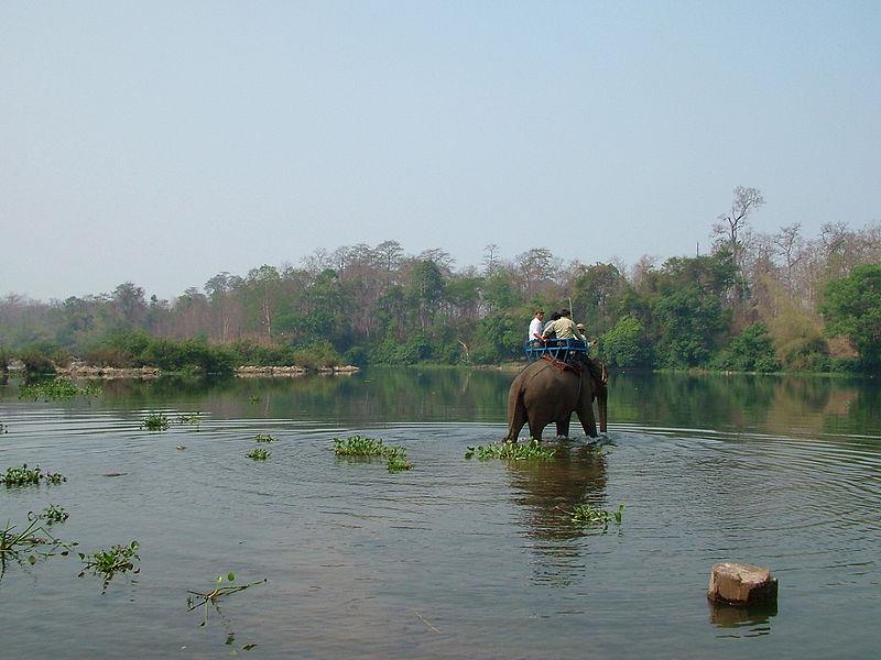
Forest resources: Central Highlands is one of regions maintaining highest biological diversity in Vietnam. Central Highlands forests are relatively rich in reserves and various in types. Notably, timber reserves in the region’s forests accounted for 45% of total timber forest reserves in the country. The area of Central Highlands forest is around 3,015,000 hectares, accounting for 35.7% of national forest area with many precious medicinal herbs like ginseng, white knotweed...
Water resources: Central Highlands owns 4 major river systems, namely Xe Xan River upstream, Srepok River upstream, Ba River upstream and Dong Nai River. The total surface water flow is about 50 billion cubic meters. In addition, the flow regime is deeply affected by the climate. Underground water resources is relatively large but deep, wells eventually are drilled into 100 meters.

Mineral resources: The most notable mineral resources is bauxite ore with the forecasted reserves of about 10 billion tonnes, accounting for 90% of national bauxite reserves. The resources is mainly distributed in Dak Nong, Gia Lai and Kon Tum. In addition, 21 gold exploration zones with its reserves of 8.82 tonnes sparsely distributed in Kon Tum and Gia Lai. Besides, there are also precious stones, brick and tile clay mines distributed in Chuse - Gia Lai and Ban Don - Dak Lak, peat and brown coal concentrated in Bien Ho, Bua village, Ve village - Gia Lai, Chu Dang - Dak Lak.
