Area: 1285,4 sq. km
Administration: Cam Le, Hai Chau, Lien Chieu, Ngu Hanh Son, Son Tra, Thanh Khe, Hoa Vang, Hoang Sa.
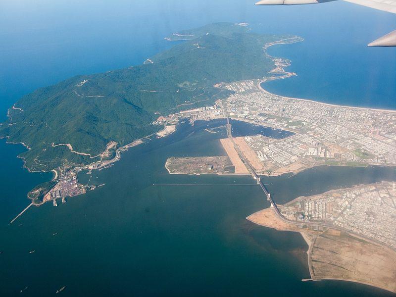
Da Nang is located in South Central Coast geography zone of Vietnam. The terrain of Da Nang includes main lands and islands. The mainland lies from 15°55' to 16°14' north latitude and from 107°18' to 108°20' east longitude. On the other hand, the marine areas are situated from 15°45' to 17°15' north latitude and from 111° to 113° east longitude which is far from Ly Son Island 120 nautical miles to the south. Da Nang City shares borders with Thua Thien Hue province in the north, Quang Nam province in the west and the south, and the South China Sea in the east. The four poles in the mainland are:
The North Pole and the West Pole: the north of Hiep Hoa ward, Lien Chieu district and Hoa Bac commune, Hoa Vang district
The South Pole: Hoa Khuong commune, Hoa Vang district
The East Pole: Tho Quang ward, Son Tra district

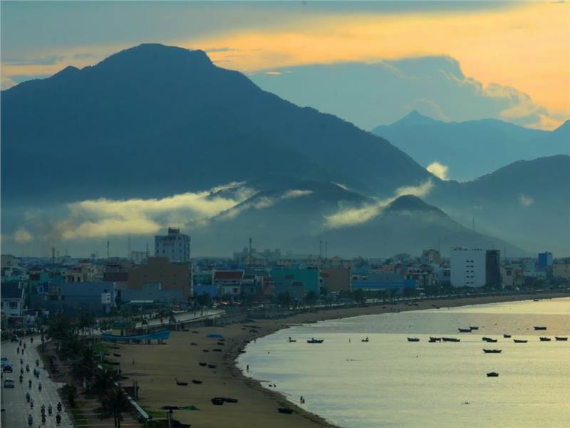
Da Nang topography has mountains, hills, coastal plains, and marine areas. Steep and high mountains are concentrated in the west and northwest of the city. The mountainous terrain covers the large proportion of the total area with the height of 700 - 1,500 meters and the slope of over 40oC. A large area of headwater forests taking the responsibility for the protection of the ecological environment is concentrated in this area. Besides, low hills are interspersed with narrow coastal plains. The coastal plains are the lowlands influenced by the salinity of ocean. In Han River and Cu De river estuaries, the seabed topography is complex and creates some shoals.
The Paracel Islands consists of two main island's clusters which are Luoi Liem cluster and An Vinh cluster. Luoi Liem is located in the west having the shape of crescent; therefore it is called Luoi Liem Island (Crescent Island). Luoi Liem consists of some islands including Hoang Sa, Huu Nhat, Duy Mong, Quang Anh, Quan Hoa, Bach Tuy and Tri Ton accompanied with rocks and sandbanks. An Vinh Island includes the relatively large islands of Paracel Islands such as Phu Lam, Linh Con, Cay and so on. This is also the largest atoll of the South China Sea.

Da Nang weather belongs to the tropical monsoon climate with high temperature and less fluctuations. Da Nang is a transition zone between the subtropical climate in the north and the tropical savanna climate in the south. Each year, Da Nang has two distinct seasons including rainy seasons from August to December and dry seasons from January to July. Sometimes, local people here witness some winter frosts but they are not prolonged and serious.
Temperature: The annual average temperature is about 25.9 °C. The temperature reaches the highest number of 28-30 °C in June, July and August and the lowest number of 18 - 23 °C in December, January and February. The average temperature is approximately 20 °C in Ba Na forests and mountains.
Humidity: The average humidity of air is 83.4%
Rainfall: The annual average rainfall is 2,504.57 mm. The rainfall reaches the highest number in October and November with 550 - 1,000 mm per month and the lowest number from January to April with 23 - 40 mm per month.
The sunlight hours: The average sunlight hours each year is 2,156.2 hours. The highest number is in May and June with the monthly average sunlight hours is 234 - 277 hours while the lowest number is in November and December with 69 - 165 hours per month.
Storms: Each year, Da Nang undergoes several storms or tropical depressions.

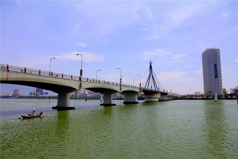
A river system of Da Nang is short and steep derived from the west and the northwest of Quang Ninh province. Two main rivers of the city are Han River (having the catchment area of 5, 180 km2 and the length of 204 km) and Cu De River (having the catchment area of 42 km2 and the length of 38 km). In addition, the city also has other rivers including Yen River, Chu Bai River, Vinh Dien River, Tuy Loan River and Phu Loc River, etc. Besides, the groundwater of Da Nang is quite diverse as well.
