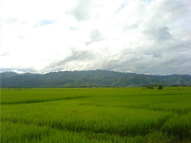
Northwest Vietnam is a mountainous region in the west of North Vietnam, sharing borders with Laos and China. This is one of three natural geographical sub-regions in North of Vietnam. In terms of administration, the region insists of 6 provinces, namely Lao Cai, Dien Bien, Lai Chau, Son La, Yen Bai, and Hoa Binh.

In term of Northwest geographical location, the region is adjacent Guangdong, Guangxi and Yunnan of China to the north, Laos to the west, Northeast to the east, Red River Delta and North Central Coast to the and southeast and the south. The development of the transport network gradually promotes economic exchanges with Northeast, Red River Delta and North Central Coast easily; simultaneously, creates favorable conditions in exploring region’s own potentials.
The region still hides diverse natural resources and has capability diversifying the economic structure. In addition, the region still keeps the strength of the mining industry and mineral processing development, hydro power, tropical agriculture with both subtropical and temperate products, and owns a powerful potential on developing marine and tourism economy.
Generally, Northwest geography is fairly particular. The system of transportation network having been invested and upgraded increasingly facilitates exchanges with other regions in the country, among provinces in the region, and gradually establishes an opening economy region.

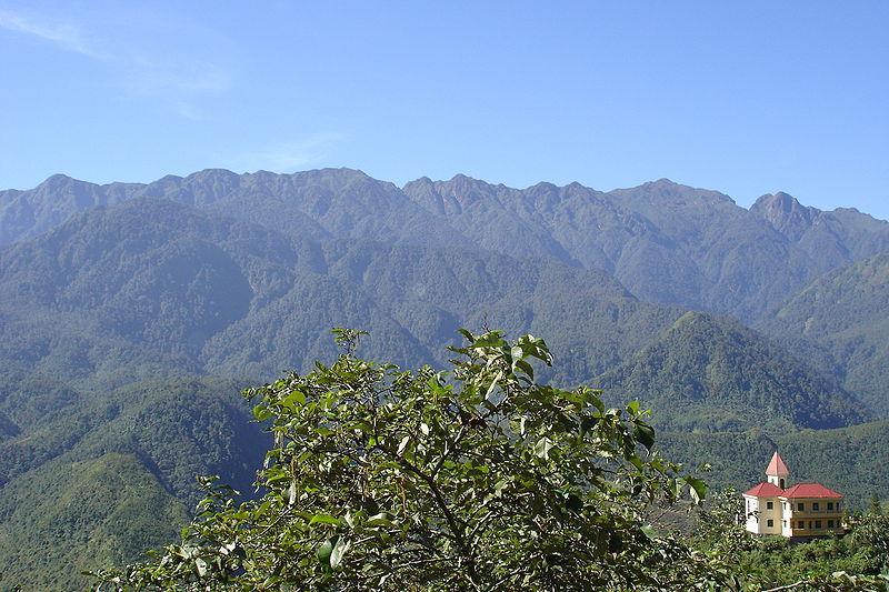
Northwest mainly consists of medium and alpine mountains. This area has the highest terrain, most fragmented and most dangerous in Vietnam. Popular Northwest terrain types are high mountain ranges, deep valleys or gorges area, and limestone plateaus with an average altitude. Belonging to this area, Hoang Lien Son mountain range is worth the highest and most voluminous mountain with many peaks over 2500m height, of which Fansipan is the tallest one (with 3143m).

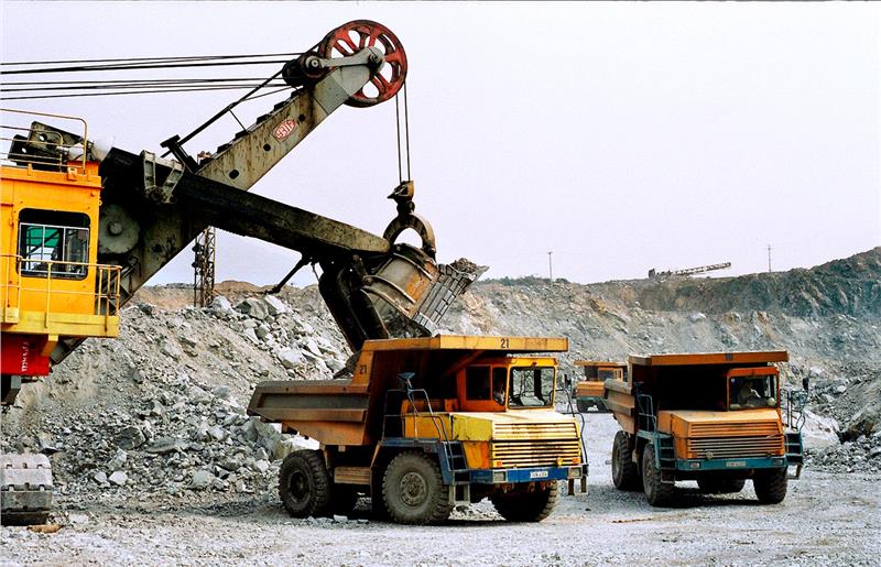
The region is the richest area in mineral resources of the whole country. Major minerals here include coal, iron, tin, lead - zinc, copper, apatite, pyrite, clay, limestone, cement, bricks, and refractory bricks...However, the majority of mine operators require modern facilities and quite high cost. Additionally, the exploration of natural resources should be associated with the environment protection in order to ensure the sustainable development of the region.

Rivers in Northwest have a considerable hydroelectric power reserve. Red River System (11 million kWW) accounts for over 1/3 hydroelectric power reserve of the country; meanwhile, the number in Da River is nearly 6 million kWW. This large hydro power resource has been exploited. The region has currently developed to successfully construct of Son La hydropower plant on Da River (2,400 MW), Tuyen Quang hydropower plants on Gam River (300 MW). Many small hydropower plants are being constructed on tributaries of the river in this potential region.The hydropower development will create new momentum for the development of the region; especially, mining and mineral processing only bases on cheap and abundant power.
The region having a large area of land is feralit, limestone and a small portion of ancient alluvial soil. Alluvial soil appears along the river valleys and plains in mountainous, such as Than Uyen, Nghia Lo, Dien Bien, and Chongqing...
